If after that last storm you were hoping you’d finally have more time to fix that hole in your roof before water started pouring through it again, you’re out of luck. And in some areas, you have to be cautious.
Southern California is in for yet another drenching as an atmospheric river moves into the region. We’ll start to see rain late Thursday, but it should wrap up by early Saturday. Those in Santa Barbara should be ready for flooding.
What to expect from the weather today
The further north you get from LA, the more intense the storm will be.
Santa Barbara has a flood watch in place, with 2-4 inches of rainfall anticipated. Northern San Luis Obispo county could see 5-10 inches.
In Ventura and LA, we’ll see 1.5 inches max in most places, though 3 inches is possible along the coast. While they don’t have flood watches in place, both
Ventura
and
LA
are warning of potential debris flows, particularly near drainages and recently burned areas.
The counties south of LA should largely see one inch of rain or less.
You can call this atmospheric river a Pineapple Express
A “Pineapple Express” is a strong atmospheric river pulling moisture from the tropics, which turns into heavy rainfall and snow.
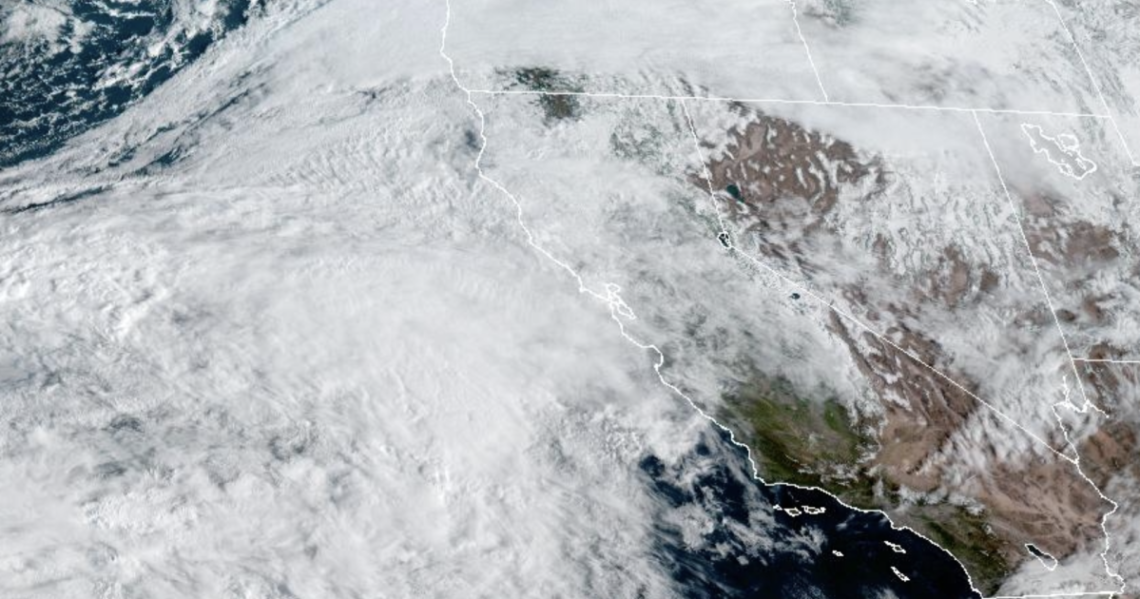
It all comes down to where the moisture is coming from. Every bit of that late February storm came down from the freezing cold north. The current storm’s main energy is coming over from the northern Pacific, but the jet stream that’s fueling it is bringing up tropical moisture from below Hawaii.
The two are combining off the west coast of North America, and slamming into us, as you can see here:
Read the full article here


