Associated Press
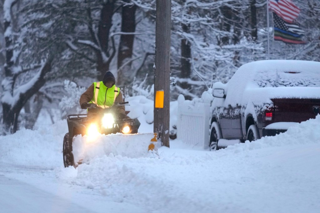
OMAHA, Neb. — A “highly impactful” winter storm is expected to dump as much as a foot of snow Monday across the country’s midsection, where blizzard and winter storm warnings are in effect.
The storm has the potential to bring 8 to 12 inches (20 to 30 centimeters) of snow to a broad area stretching from southeastern Colorado and western Kansas, through eastern Nebraska, large parts of Iowa, northern Missouri and northwestern Illinois, up toward the upper peninsula of Michigan, said Bob Oravec, a forecaster with the National Weather Service in College Park, Maryland.
“So a very, very highly impactful event coming forward,” Oravec said.
There were widespread school closing across eastern Nebraska on Monday ahead of the storm, where forecasters predicted 5 to 8 inches (12 to 20 centimeters) of snow. The district that includes the state capital, Lincoln, is among those where students were told to stay home. Lines were long Sunday at a Target Store drive-up in Omaha as residents stocked up on milk, bread and booze ahead of the storm.
Federal courts in Omaha and Lincoln closed at noon Monday. Officials with the U.S. Army Corps of Engineers announced they began increasing the flow through a Missouri River dam that sits on the Nebraska-South Dakota border near Yankton by 2,000 cubic feet per second to reduce the chance of ice jams forming.
The National Weather Service office in Des Moines, Iowa, warned of the potential for “widespread heavy, possibly extreme, snowfall,” with snowfalls of up to 9 to 15 inches (23 to 38 centimeters), “significant impacts” to Monday evening and Tuesday morning commutes, and possible whiteout conditions at times.
The threatening weather has already affected campaigning for Iowa’s Jan. 15 precinct caucuses, where the snow is expected to be followed by frigid temperatures that could drift below 0 degrees (-18 Celsius) by caucus day next week. It forced former President Donald Trump’s campaign to…
Read the full article here


