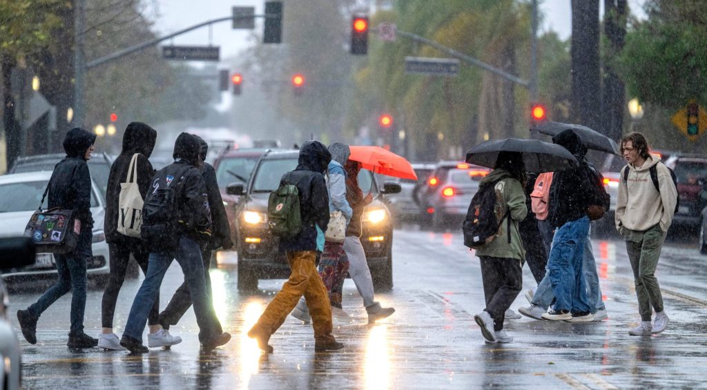
LOS ANGELES — One day after a strong storm brought heavy rain and caused flooding and road closures across Southern California, the area was preparing Friday for an even more powerful system that forecasters say could drop major amounts of precipitation over multiple days beginning Sunday, creating severe flood risks.
“People need to start preparing now for a major flooding event,” National Weather Service forecasters warned in a statement Friday.
According to the NWS, the multiple-day storm could drop 3 to 6 inches of rain in coastal and valley areas, and 6 to 12 inches in the mountains, with much of that downpour occurring in a 24- to 36-hour period from Sunday into Monday.
“Historically, rainfall of this magnitude creates major hydrologic problems in our area, and there’s no reason to think this won’t happen with this event,” forecasters said.
Forecasters said the most recent models are suggesting a slight reduction in overall rain totals, but “we’re still talking about major amounts of rain falling across the area.” The heavy rain will be accompanied by strong winds in many areas, blowing at speeds of 30 to 50 mph in parts of LA County, and reaching up to 60 to 90 mph in higher mountain areas and the 5 Freeway corridor.
As the storm moves slowly toward Southern California from the north, Saturday should be mostly dry, except for a slight chance of rain late in the day in the far western reaches of Los Angeles County.
Rain will fall across most of the region Sunday, arriving in the LA area by Sunday night. The exact timing of the storm’s arrival locally was still uncertain, with forecasters saying there’s a chance much of the heaviest rain could remain over Santa Barbara and Ventura counties for most of Sunday.
“At this point, it appears that the focus of the heavy rain will shift into Los Angeles County by Monday morning, possibly lingering there into the afternoon, while lighter rain continues across the remainder of the…
Read the full article here

