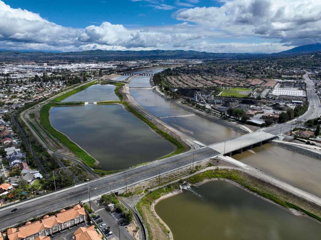
Every few rainy seasons, when Southern California’s annual dry-dry-dry-wet-dry weather pattern lands on “wet,” a strip of land that connects Orange and Anaheim turns into something resembling Minnesota:
About two dozen tiny, glassy lakes pop up near the Santa Ana River.
Most years, they stay full for a few days or weeks before reverting to their less-than-natural states as mini versions of the adjacent riverbed, which for much of the year is a dry mix of sand and cement and litter.
What are these temporary bodies of water? More importantly, why are they?
John Kennedy, executive director of engineering and water resources for the Orange County Water District, explained that the things that look like lakes aren’t lakes, and the reason for their existence is simple: water conservation.
“We own about 1,500 acres of land in the cities of Anaheim and Orange, property that’s been accumulated since the 1940s. That’s where we have 26 separate recharge basins,” he said. “That’s what you’re seeing.”
Think of the basins as way stations of sorts in a groundwater management system that extends far beyond the county border. On one end, you have rainfall and snow that comes down from the local mountains to the Prado Dam, in Chino Hills. On the other end you have the local stretch of the Santa Ana River and a huge underground aquifer, beneath much of north Orange County, that stores water used every day by about 2.5 million people.
The basins are also kind of cool, particularly in years with a lot of rain.
This year, depending on how and where you’re measuring, between 16 and 25 inches of rain fell on Orange County from Jan. 1 through March 31. And though “average” rain numbers are a misnomer in Southern California (most years are well under or over the mean) this year’s number is about twice what passes as normal.

As a result, Kennedy said the basins are likely to hold water for a bit longer than is typical, possibly through the spring.
He…
Read the full article here


