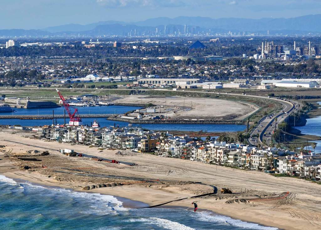
Millions of dollars are being spent to add sand to local beaches – but a new study suggests technology can give a better understanding of how sand moves, offering data decision-makers could use in planning how to fix the eroding coastline.
A new paper published recently by UC Irvine researchers in the Coastal Engineering Journal analyzed beaches between Long Beach and La Jolla, offering new data and methods that can be used to figure out the most vulnerable areas of coastline and whether those beaches are suitable for the mega, costly projects often turned toward for trying to replenish and retain sand.
The study comes as coastal cities across the state are grappling with eroding beaches, due in part to human development that has impacted natural sand supply but also rising sea levels and climate change.
Because shrinking sand impacts everything from recreation, public access, infrastructure and the economy, decision-makers are searching for solutions – historically, major sand replenishment projects have moved at a snail’s pace, taking years and even decades to get through permitting and secure government funding.
“I’m really excited to have the resources that help, potentially, inform these decisions,” said Daniel Kahl, UCI researcher and lead author of the paper. “It can help us inform where nourishments will be most beneficial and where they won’t be the best.”
The researchers used satellite imagery dating back nearly 20 years and wave data from that same period from the Scripps Institution of Oceanography in San Diego to analyze “longshore transport,” which is wave-driven movement of sand along the coast, the pathway that shows which direction sand will be redistributed.
Their paper also analyzed “divergence of drift,” which shows whether sand will accumulate or diminish, based on the movements of sand.
“This method characterizes a process that can help us understand which areas of the beach are susceptible for erosion, but…
Read the full article here


