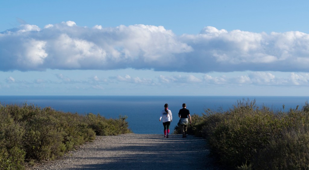
Irvine is looking into developing a trail system south of the intersection of State Route 133 and Interstate 405, which, if completed, would provide a walkway in the city’s southern area all the way down to the beach in Crystal Cove State Park.
The City Council last week unanimously agreed to conduct a feasibility study of the proposed trail system, to determine whether it is the best use of the open space in that area, which is largely untouched.
The proposed trail system, which would start from Lake Forest Drive, near the Los Olivos Community Center, would be adjacent to Laguna Altura, Hidden Canyon, Los Olivos and Barcelona neighborhoods, located in the southernmost part of the city near the Spectrum Center.
Because those neighborhoods weren’t developed when Irvine planned its open space trails, residents living there don’t have nearby access into the city’s open space, said Councilmember Mike Carroll, who proposed the feasibility study.
Residents there have expressed their desire to access the city’s open space adjacent to where they live, said Carroll.
“Now is the time to act,” he said. “As I’ve been exploring these southern villages of Irvine, it appears possible that we can create a new trail system from Lake Forest Drive … that would connect our residents living in the area to the Laguna Coast Wilderness Park, Bommer Canyon (and) Shady Canyon, and provide connectivity all the way down to the Pacific Ocean at Crystal Cove State Park.”
The City Council unanimously approved Carroll’s proposal, but Mayor Farrah Khan and Councilmember Kathleen Treseder stressed the importance of keeping wildlife in the area safe.
Irvine has thousands of acres of native habitat, where mule deer, bobcats, mountain lions and coyotes — as well as hundreds of endangered birds, mammals and reptiles — live. The city’s open space preserve has been designated a natural landmark by the state and the U.S. Department of the Interior “for its…
Read the full article here

