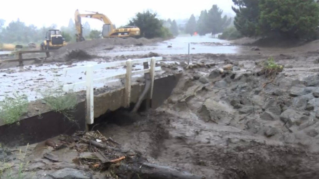
Rain from Tropical Storm Hilary tapered off Monday as the unsettled weather system moved to the north, but sporadic showers continued to fall and cleanup operations were underway as mud flows and flooding impacted some roads and highways.
There were no reports of major injuries or damage due to the storm that unleashed its fury on the region throughout the day Sunday. There were reports of some trees falling in Sherman Oaks on Sunday, and at least part of a large tree came down overnight in the Sun Valley area and damaged some cars parked nearby.
The Monday morning commute was impacted by several closures, including a mudslide that blocked one lane of traffic on the Hollywood (101) Freeway near Universal Studios. Lanes on the Golden State (5) Freeway in the Sun Valley area were also blocked due to flooding.
“Bands of moderate to heavy rain will continue to move through Los Angeles and Ventura Counties into tonight,” according to the National Weather Service. “Isolated thunderstorms are also possible. Lighter showers are expected in Santa Barbara and San Luis Obispo Counties. Significant flooding threats exist, especially over Los Angeles and Ventura Counties. Rain will decrease with clearing skies during the day on Monday.”
Most rainfall records were shattered on Sunday thanks to the almost daylong downpours. The highest rainfall total recorded over a two-day period ending at 7 a.m. Monday was at Mount Wilson, where the NWS reported 8.56 inches of rain. Lewis Ranch saw 7.04 inches, while nearly seven inches fell in Crystal Lake and 6.5 inches came down at Santa Anita Dam. Saugus also saw nearly 6.5 inches of rain.
Most other areas saw between 2 and 4 inches, with Beverly Hills receiving nearly 5 inches. About 3.5 inches fell in Santa Monica, and roughly 3 inches in downtown Los Angeles. Nearly 6 inches fell in East Pasadena, while Pasadena itself saw 2.4 inches.
According to the Weather Service, the 2.48 inches that fell in downtown Los…
Read the full article here


