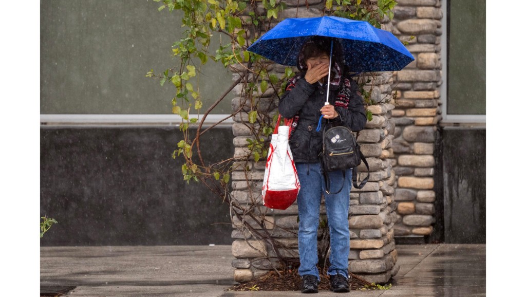
Did you put the umbrellas and raincoats away after the latest Southern California storm? Forecasters say you might need to take them out again.
A brief, relatively mild cold storm system will move through the region beginning Tuesday, March 28, bringing rain to most areas and snow to higher-elevation mountain communities, with conditions drying up by the weekend.
This upcoming storm is looking to be generally weaker than past storms of this winter, except for a slight chance of thunderstorms late Wednesday-Thursday ☂️. pic.twitter.com/hLuyktKXR5
— NWS Los Angeles (@NWSLosAngeles) March 27, 2023
“It’s a nice day today, it’ll be a nice day tomorrow, but then cooler weather is coming in,” said National Weather Service forecaster Adam Roser. “It looks like we’ll get some more rain and mountain snow.”
Rain will likely start late Tuesday night. Most areas can expect between 0.5 inches and 1 inch of rain, with mountain communities receiving the higher numbers. Snow is expected above 3,000 feet in elevation between Wednesday and Thursday, with areas above 5,000 to 6,000 feet receiving between 5 and 10 inches.
After a fun few sunny days, Mother Nature is gonna throw a little shade by Tuesday night through Thursday 😌 Light rain, snow, and windy conditions can be expected with an incoming weather system ❄️☔️ Give the graphics below a read for more info! #CAwx pic.twitter.com/ZotMOTEWbB
— NWS San Diego (@NWSSanDiego) March 27, 2023
Thunderstorms and waterspouts are possible Wednesday night, with some gusty winds predicted for most of the region as well. This system will also bring lower temperatures, with most areas not breaking the 60s on Thursday.
The storm will have mostly dissipated by late Thursday, although some rain is possible. The weekend will be sunny, dry, and cool.
Read the full article here


