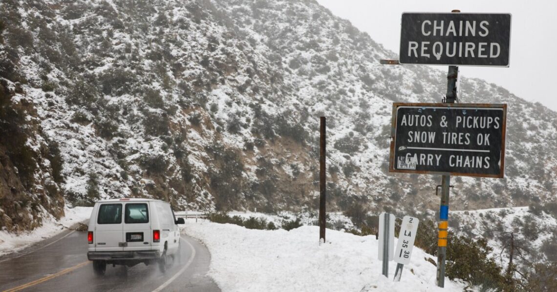
A big storm is continuing to move through Southern California, which means we’re going to see rain throughout the day.
Some good news: Ariel Cohen, a meteorologist with the National Weather Service, says the heaviest rainfall is behind us.
“And so the overall flood risk is decreasing, but it’s not completely zero,” Cohen said, “especially in areas that got the most heavy rain last night into this morning.”
A flood advisory is still in affect for most L.A. County. That advisory will be lowered to a flood watch at 10 a.m.
Overall, the region has seen anywhere from 3 inches of rain to almost 8 inches in parts of the foothills and valleys. Snow in the mountains is a different story, with Mountain High reporting close to 65 inches of snow since the storm moved in.
The weather service says we’re expecting another 0.5 to 1 inch of rain at lower elevations through Saturday afternoon. A blizzard warning remains in effect in the mountains which saw gusts as high as 80 mph overnight.
Road closures
Travel north of the L.A.-area remains difficult, with sporadic closures of the I-5 in the Tejon Pass/Grapevine area. After escorting cars through the pass Friday night, California Highway Patrol officials said early Saturday it was closed again.
The Grapevine is closed in both directions at this time. Snow is continuing to fall on the Grapevine with ice building up on the roadway making it unsafe for motorists. We do not know how long this closure will be in place. We will update as new information becomes available. pic.twitter.com/nwb41YTjpI
— CHP Fort Tejon (@CHPFortTejon) February 25, 2023
In the Antelope Valley, Caltrans is reporting a…
Read the full article here


