By Brian K. Sullivan
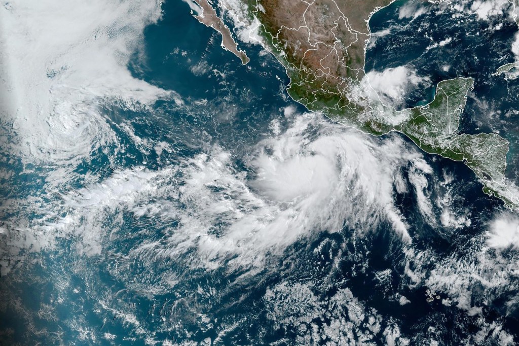
Tropical Storm Hilary has spun up in the Pacific off Mexico’s coast and could pummel Southern California early next week.
Hilary is moving west-northwest about 470 miles from Manzanillo, Mexico, with top winds of 40 miles per hour, the US National Hurricane Center said in an 8 a.m. advisory. The five-day track for the storm potentially carries it into Southern California as a post-tropical system by Monday, although forecasts that far out may be inaccurate.
“Hilary has the potential to bring impacts to the Baja California peninsula and portions of the southwestern United States this weekend,” according to an analysis by Samantha Camposano and Lisa Bucci, forecasters at the center. “Although it is too soon to determine the location and magnitude of rainfall and wind impacts, interests in these areas should monitor the progress of Hilary.”
Tropical systems rarely strike Southern California, with most either making landfall in Baja California before breaking up across Mexico, or heading west into the deep Pacific. So far eight storms have formed during the eastern Pacific storm season, which ends on Nov. 30.
Hilary is forecast to strengthen into a Category 3 major hurricane, with winds of at least 111 mph, on Friday before weakening as it approaches northern Mexico or Southern California.
Read the full article here


