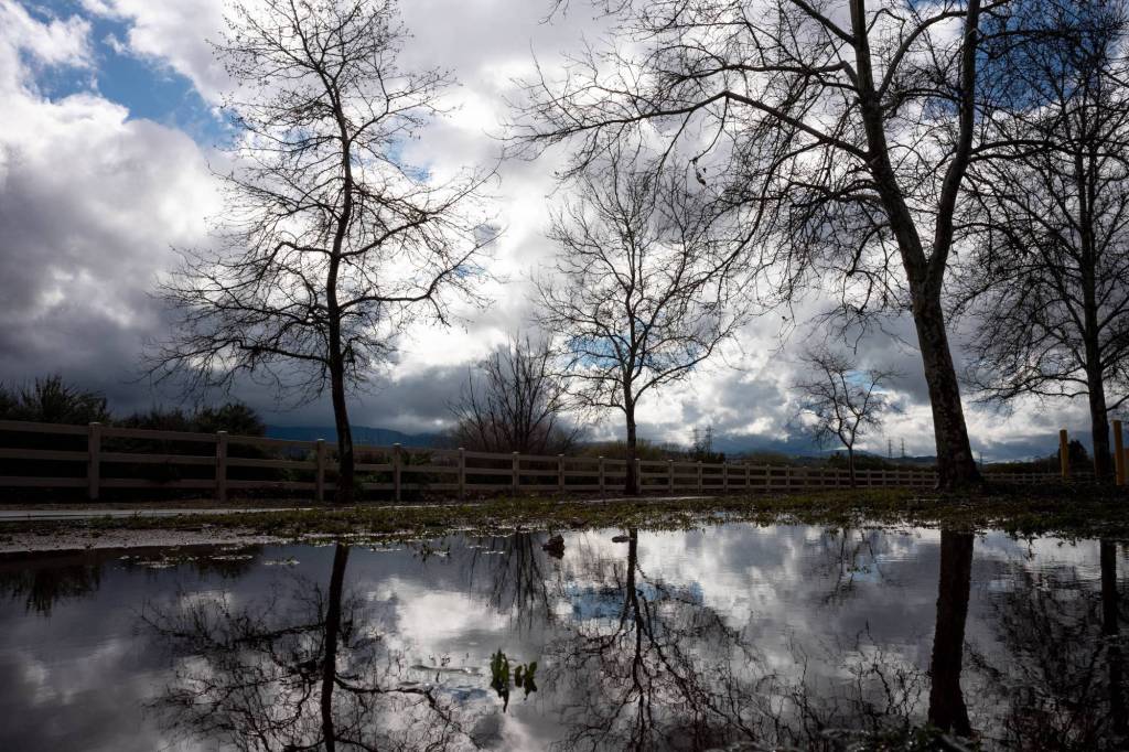
Another storm system was anticipated to descend on Southern California from the north late Tuesday, Feb. 28, and flow into Wednesday afternoon — but aside from more rainfall and snow, it wasn’t anticipated to cause as much chaos as last week, weather forecasters said.
Scattered showers were expected to begin Tuesday afternoon, with more widespread rainfall expected overnight and into Wednesday morning, likely affecting the morning commutes, meteorologists with the National Weather Service said.
In all, most populated areas across Southern California were anticipated to receive a quarter- to half-inch of rain, with some areas on the western edge of the Inland Empire possibly receiving up to three-quarters of an inch, Meteorologist Dan Gregoria said.
“It shouldn’t be nearly to the degree of what we had last week,” Meteorologist Ryan Kittell said. “The winds will be weaker. You might have a tree or two that comes down, but most of the vulnerable trees already came down last week.”
The storm adds on to what has already been an above-average year for Southern California rainfall.
As of Tuesday, downtown Los Angeles had received 18.77 inches of rainfall since Oct. 1, which meteorologists mark as the beginning of rain season. Downtown Los Angeles averages 10.65 inches of rainfall through the end of February, Kittell said.
John Wayne Airport had received 11.67 inches of rain, up from its average of 8.52, Gregoria said. In Ontario, the 14.64 inches was exactly 6 inches above normal for this time of year.
Tuesday and Wednesday’s rain was not anticipated to bring flood watches, advisories or warnings — though Orange County and the Inland Empire will have a wind advisory from midnight Wednesday through the afternoon, Gregoria said.
More snow was expected in the mountains and possibly again in foothill communities like La Crescenta, Kittell said. Snow levels could reach as low as 1,500 feet Wednesday morning and areas in the San Bernardino Mountains were…
Read the full article here


