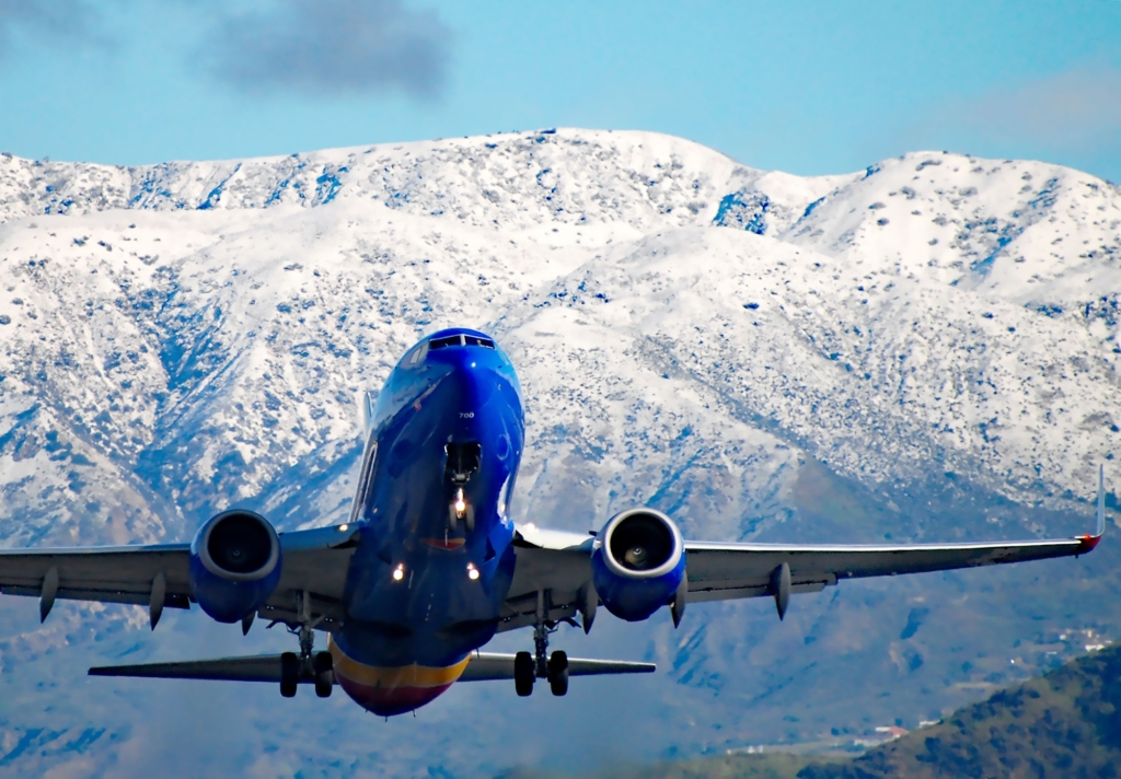
Even as the rain slackened and the snow tapered off, weather woes continued Monday for much of Southern California after nearly a week of relentless storms.
Though traffic was clear for much of the area with so many locals staying off the roads, rain-slickened freeways led to traffic nightmares for some: By the afternoon a major spinout on the 5 freeway in Newhall had vehicles completely stopped.
In the San Bernardino Mountains, some towns were still trapped behind feet of snow as Caltrans vehicles attempted to plow them out.
The chaos relented a bit for anyone trying to get out north of the area — Caltrans officials said the Grapevine was reopened, for now, in Gorman.
All of that was occuing amid light rain across much of the Los Angeles metropolitan area, what the National Weather Service called “the first and probably weakest of a three cold front sequence” over the next three days.
Forecasters in the NWS Los Angeles office said in a statment that Monday’s wave of rain and low temperatures was the result of one of those cold fronts “rounding Point Conception this morning with a plume of steady, but light, precipitation out ahead of it.”
The forecasters said the rain will remain light through Tuesday as the second of those fronts sweeps over the region.
The third, however, will bring much more rain on Wednesday: The coasts of greater L.A. could see 0.75 to 1.25 inches of rain, while valley areas could get 1 to 2 inches. In the mountains, residents could expect 3 inches of rain or more.
That could spell more trouble for residents who are still dealing with the effects of the last round of intense rain and snow.
“It’s a ton of snow,” said Michael Comeaux, a spokesman for Caltrans in District 7, which covers Los Angeles County, the Grapevine and the Angeles Crest Highway through the San Gabriel Mountains.
He said the Angeles Crest in particular was buried under an atypical amount of powder.
“Crews are still working to clear it,” he said…
Read the full article here


