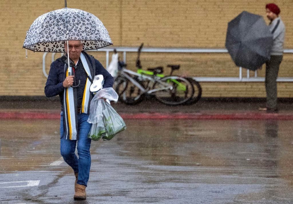
The first in a wave of storm systems set to douse Southern California is expected to arrive late Wednesday, Jan. 31, and early Thursday, bringing with it some heavy downpours and possible flooding.
Relatively clear skies and warm temperatures early in the week will be short-lived as the system makes its way down from Northern California, said National Weather Service Meteorologist Lisa Phillips. The system, referred to as a Pineapple Express, follows similar patterns of El Niño, carrying heavy precipitation from the tropical Pacific — specifically from around Hawaii — though whether the storm was caused by the El Niño weather pattern was not known on Tuesday.
This year, El Niño is forecast to reach the most significant level since 2015-2016, which saw the warmest winter on record across the country, according to the National Oceanic and Atmospheric Administration.
A second round of storm systems will make its way over the area on Sunday, packing more of a punch than the first round and continuing through at least Tuesday, Phillips said. Estimates on how much rain the region could see next week were not yet available.
“The general timing for the next big wave is from Sunday through Tuesday, with the potential for showers to last past then and to produce more rainfall than this system, NWS meteorologist Brian Adams said.
The first system will arrive first over Los Angles County late Wednesday, marked by humid weather and increased wind speeds of around 30-40 mph and gusts of around 50 mph in the mountains, Phillips said. The heaviest showers will follow in the morning and carry on through Thursday with around an inch to two inches of rain set to drop over the county, with the mountains receiving around two to five inches.
“We do have some concerns of flooding closer to the mountains and foothills, minor creek and roadway flooding,” Phillips said on Tuesday. “For now, the National Weather Service is not planning to issue any flood watches in…
Read the full article here


