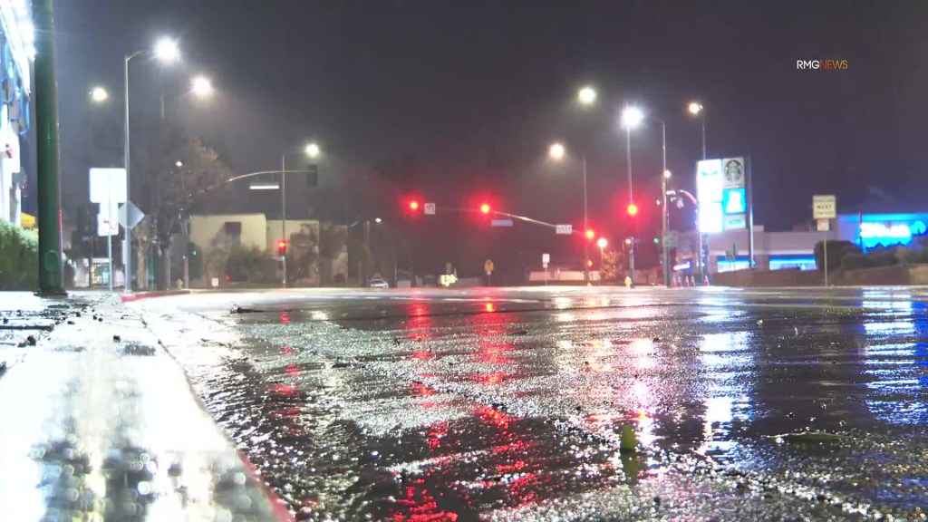
The first of a series of heavy storm systems began dropping rain on Los Angeles County early Thursday morning, Feb. 1, leading to some roads flooding, and widespread rain was expected to continue into the late-morning hours before easing up to scattered showers later in the day, authorities said.
Already, western portions of Los Angeles County, including Manhattan Beach and Hermosa Beach, had seen more than an inch of rainfall as of 7:30 a.m., said Rose Schoenfeld, a National Weather Service meteorologist. Other areas in the county had seen between a half-inch and three-quarters of an inch.
Areas in Orange County and the Inland Empire had mostly seen a half-inch or less, but heavier rain was anticipated as the widespread portion of the storm shifts from Los Angeles County down toward those areas, said another Weather Service meteorologist, Philip Gonsalves.
But early Thursday, a vulnerable slice of Pacific Coast Highway had already once again flooded and closed the roadway from Seapoint Street to Warner Avenue, forcing drivers to find alternative routes.
Stretch of PCH closed in Huntington Beach due to storm flooding
Fullerton had the highest amount in Orange County as of 7:30 a.m. at about a half inch. The Pomona gap, which splits the Santa Ana and San Gabriel mountains, had seen just under half an inch, Gonsalves said.
Areas in the Inland Empire had seen less than one-tenth of an inch so far.
“We fully expect to see that sort of intensity of rainfall slowly migrate into Orange County,” Gonsalves said. “It’s a gradual process.”
With that, Gonsalves said the office was expecting the rainfall to lead to more road flooding in parts of Orange County. As of 7:30 a.m., Schoenfeld said her office was seeing some reports of road flooding in L.A. County.
Weather experts expected the heaviest rainfall to move on from Orange County and the Inland Empire sometime around 2 p.m., but chances for showers would remain across the region into Friday…
Read the full article here

