An unusually strong and cold winter storm system will descend on Southern California this week, bringing significant rain, powerful winds and heavy snow to the region, forecasters say.
The storm, and an accompanying steep drop in temperatures, is likely to bring snow to unusually low elevations across the state later this week, including parts of Southern California, the National Weather Service said. An enormous trough of low pressure centered over the western U.S. is tapping into cold air from the north and bringing it further south.
“There is a really strong storm system that will be racing down the West Coast,” said National Weather Service meteorologist Elizabeth Schenk. “It’s a super dynamic system that is pulling a lot of cold weather from the north.”
Powerful winds were expected in much of the region late Tuesday, Feb. 21, with gusts of up to 70 miles per hour in the mountains and foothills and gusts of up to 50 miles per hour in the coasts and valleys, according to the NWS forecast.
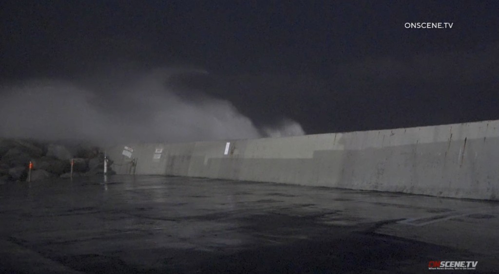
Mountains may see wind gusts of 100 miles per hour, with the strongest coming Tuesday night into Wednesday. The threat of strong winds prompted a gale warning predicting 35-45 knot wind gusts over coastal waters and wave heights peaking at 13-22 feet. Los Angeles waters could see 10-foot waves Tuesday through Thursday.
Temperatures will be significantly lower across the region, dipping 10 to 20 degrees below average. Some areas, such as San Bernardino and Santa Clarita, will see nighttime lows in the mid-30s. Temperatures will likely not break the mid-50s in any area for several days.
Areas around 2,000 feet in elevation and above in the Inland Empire could begin to see a mix of rain and snow as soon as Tuesday night. Lower-elevation areas in Los Angeles will see light rain into Wednesday. The mountains could see several feet of snow accumulation.
“It’s hard to put an upper limit on the snow,” Schenk said. “It’s a really remarkable system.”
As the…
Read the full article here


