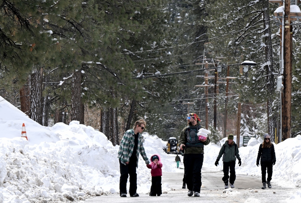
Although a barrage of rare storms has pummeled Southern California with rain, snow, and hail in recent weeks, the National Weather Service said it isn’t likely California’s drought will be over soon.
Still, the current rainfall and snow has made more than a drop in the bucket for the typically dry region, which has generally seen more precipitation than expected for the rainy season, which is measured from Oct. 1 on.
NWS meteorologist Samantha Connolly, who works out of the San Diego office overseeing Orange County and the Inland Empire, said many of its sites have seen marked increases in precipitation, especially at the coasts and in valleys.
“I would say a majority are above normal for this time of year,” Connolly explained.
Since October, Fullerton has seen nearly 14 inches of rain compared to its normal 8 or so inches, Connolly said. Measurements taken at John Wayne Airport near Santa Ana saw about 3 inches more than normal for the season.
As for the Inland Empire, it appears Ontario is leading the charge for rainfall highs, according to Connolly. That city received about 16 inches of precipitation so far — which is 6 inches more than usual. At nearly 9 inches this season, Riverside was about 2 inches ahead of its normal totals, she added.
And Chino more than doubled its normal rainfall for the season when it clocked in just over 13 inches within the past week.
Still, despite the rare weather, the barrage of recent storms isn’t enough to singlehandedly take California out of its drought. For Southern California, the U.S. Drought Monitor currently describes severity as “moderate.”
“Anything we can get definitely improves the Drought Monitor, but to entirely eliminate it takes quite a bit,” she said.
Instead, Connolly said getting out of drought requires steady precipitation increases rather than a “lump sum” because of how long California has been in a drought.
“Even though we’ve gotten all this precipitation and we are above…
Read the full article here


