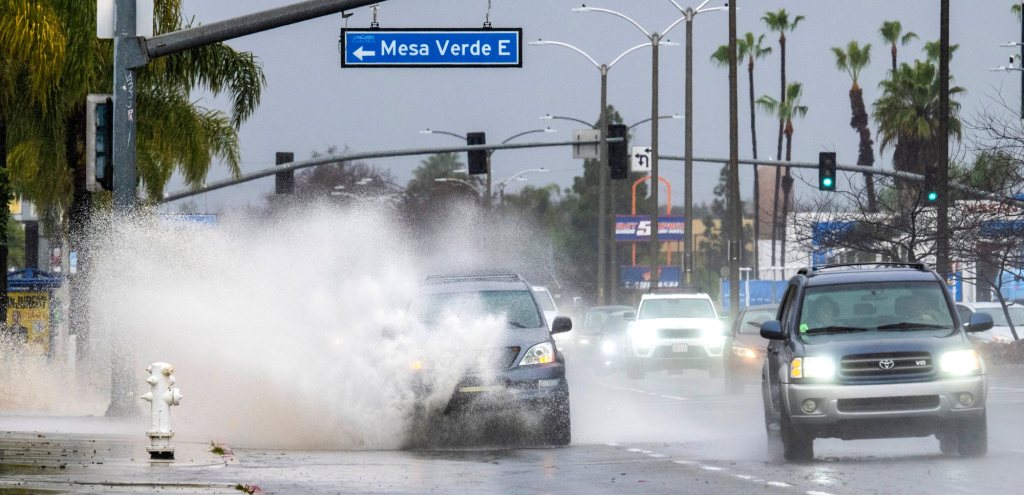
Los Angeles County residents were treated with blue skies and sunshine Wednesday morning, Feb. 7, a small respite from days of continuous rainfall before a final wave of widespread rain was expected to hit later Wednesday evening and then the skies would clear by Thursday, weather forecasters said.
Those in Orange County and the Inland Empire were in for a day of scattered showers and may be in bed by the time the final widespread event hits the region at about 10 p.m. tonight, National Weather Service meteorologist Philip Gonsalves said.
The storm’s final curtain call will then give way for partly cloudy skies the rest of the week, leading to what should be a nice, albeit chilly, weekend, weather experts said.
“We are in between bursts,” said John Dumas, a Weather Service meteorologist. “Obviously, the majority of the rain has passed. We’re looking for a pretty quick shot this evening.”
The widespread rain event was projected to start in Los Angeles County about 6 p.m. and clear by 11 p.m., Dumas said.
Then Orange County and the Inland Empire will get it from about 9 p.m. Wednesday to 2 a.m Thursday.
Most areas in Los Angeles County were looking at less than an inch of rainfall, and possibly closer to a half-inch, Dumas said.
“If there is heavier rain under a spot, because the ground is already so wet, it could cause a problem,” Dumas said. “But it’ll be not much rain, and not for very long.”
Snow levels could get down to 3,200 feet in L.A. County mountains, Dumas said, with an inch or two of snow likely falling and a chance of upwards of four inches.
Areas in the San Bernardino Mountains were also anticipated to get more snow at about 4,000 feet and above, Gonsalves said.
But once the widespread rain clears the region, that should mark the end of this series of storms, the forecasters said.
High temperatures will remain in the upper 50s through Friday, then get into the low to mid-60s over the weekend.
In a week, temperatures…
Read the full article here


