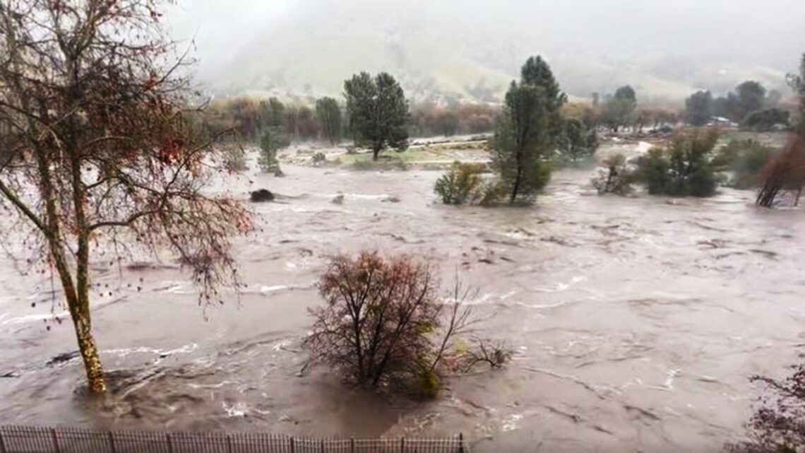
California is going to be slammed this week with another atmospheric river, while people living in the West Coast state are still sharing their images from the last major weather event to blow through.
“It’s hard to say that we have another one on the way,” FOX Weather meteorologist Jane Minar said. “We will see a brief break as we go through your day on Sunday, as scattered showers do continue to pivot across the northern tier of (California).”
The National Oceanic and Atmospheric Administration has already warned of a moderate risk for excessive rainfall, highlighting areas from around San Francisco to Sacramento with the highest risk of flooding on Monday.
The greatest threat zone will sink south and include much of Central California on Tuesday.
MONTEREY BEACH, CALIFORNIA, LEVEE BREACHED AMID ATMOSPHERIC RIVER THAT FORCED EVACUATIONS, WASHED OUT ROADS
“Rainfall is expected to bring another considerable flooding threat to elevations below 5,000 feet to Northern and Central California. This includes the San Joaquin and Sacramento valleys, southern Sierra Nevada foothills and the coastal region from San Francisco to the north of San Diego. Forecast models show between one and three inches of rain for many communities, with a few spots, especially along the coast and the foothills possibly receiving more,” according to Fox Weather.
The system is expected to last into early Wednesday.
In Monterey County, the Pajaro River levee breached amid the Pineapple Express storm at approximately midnight on Friday, located upstream from the community of Pajaro.
More than 9,000 California residents were also under evacuation orders, including in Kern County, and hundreds of residents in Soquel were reportedly stranded in their Santa Cruz County homes after the only road in and out was washed out by floodwaters.
CALIFORNIA BRACES FOR ANOTHER ATMOSPHERIC RIVER FOLLOWING ONCE-IN-A-GENERATION STORM
“Just a tad anxiety-inducing, watching from our living room window,” Heidi…
Read the full article here


