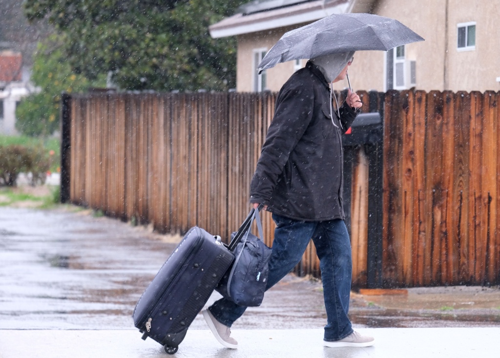
A storm system initially predicted to pack more rain than last week’s showers touched down in Southern California on Tuesday afternoon, March 14, but meteorologists said the fast-moving system would likely move on quicker than anticipated.
By around noon on Tuesday, the storm had dropped under an inch of rain on Los Angeles County, according to National Weather Service meteorologist Rose Schoenfeld. In total, the storm was expected to bring about two inches to the county — with 4 to 6 inches possible in the San Gabriel Mountains– before clearing out late Wednesday.
“Because it’s a widespread storm that’s affecting all Southland counties, there is still the potential for road flooding, creek, stream and river flooding and debris flow,” she said. “Heavy winds also increase potential for downed trees and powerlines.”
A flood watch remains in effect for most of Southern California Tuesday through Wednesday.
The heaviest showers fell over Ventura County in the early afternoon, said NWS forecaster Philip Gonsalvez.
Good afternoon, #SoCal! 🌧️
The heavy rain remains to our northwest, but some light rain is beginning to push into the region this afternoon.
The heaviest rain is expected this evening through tomorrow morning.
Check out the radar from 10am to now below! #cawx pic.twitter.com/Ij6Iz5GblG
— NWS San Diego (@NWSSanDiego) March 14, 2023
As of 1 p.m., no major storm damage was reported, including in San Bernardino County’s mountain communities, where residents are still in recovery mode following the record-setting winter storms earlier last month.
An estimated 5 to 7 inches of rain was predicted to hit the mountain communities, and authorities said they’d be able to respond with plenty of resources.
“The County Fire Department has added additional engines, chief officers, dispatches, personnel to our rapid response team and field observers to monitor the mountain for snow shedding,” said Eric Sherwin, a spokesperson for the…
Read the full article here


