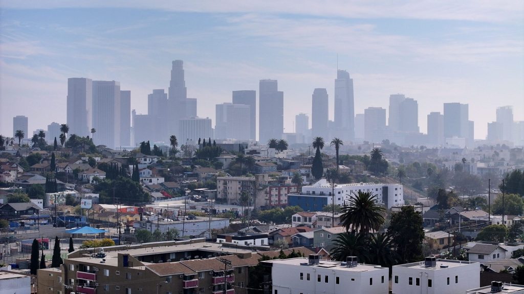
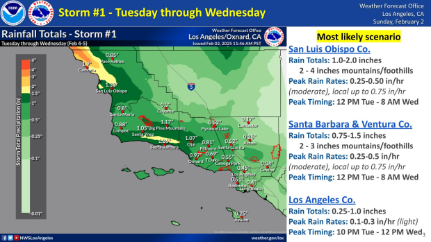
A storm system is expected to bring widespread rain and gusty winds to Southern California beginning Tuesday, raising fears of possible debris flows in recent burn areas.
The National Weather Service expressed “high confidence in widespread periods of rain in the Tuesday through Friday” period. Early estimates suggest most areas will see moderate rainfall, with about an inch in coastal and valley regions and two to three inches in the foothills and mountains.
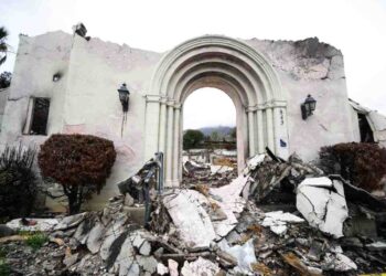
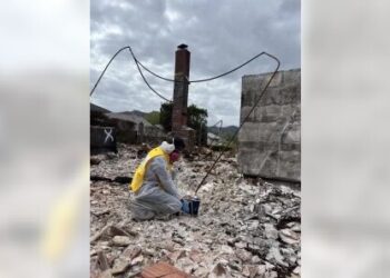
Forecasters said the rainfall poses minimal threat of triggering destructive mudslides or debris flows in Southern California’s recent burn areas. However, some risk remains, and officials were taking pains to provide every precaution possible.
“The peak of the event will be from Tuesday evening through Wednesday morning,” the NWS said, adding that the chance of rain and the rainfall intensity will decrease Wednesday afternoon and evening. Another bout of rain is expected either Thursday or Friday, with dry skies returning by Saturday.
The Los Angeles County Department of Public Works is cleaning drainage facilities and debris basins, installing additional k-rails near homes and providing sandbags at vulnerable sites.
County officials updated the public on the preparedness efforts at a Sunday morning news conference in Malibu.
“Los Angeles County has been working around the clock to prepare for this storm, clearing debris basins, reinforcing infrastructure, and making sure our residents have the resources they need to stay safe,” said Supervisor Lindsey Horvath, whose Third District includes the Palisades Fire area. “I want to thank all of our emergency response teams for their tireless work to protect our communities. I urge all residents to take this time to prepare —secure your property, use sandbags where needed, and stay informed as the storm approaches.”
County storm preparedness actions include:
Debris basin and flood control maintenance
Public Works crews have been clearing storm drains,…
Read the full article here


