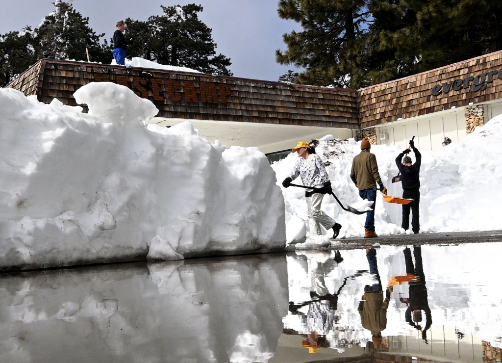
Southern California will see wet and cold weather return Friday and over the weekend, forecasters said, which could lead to more hazards for the region’s mountain towns already hit hard with historic amounts of snow.
The National Weather Service in San Diego said the snowfall will not be nearly as intense as last week when some communities were, quite literally, buried under feet of powder.
But the fact that any amount of precipitation will return to these areas could lead to complications for the ongoing rescue efforts of those residents still trapped or assessing the damage to their homes.
On Friday, Snow is likely to fall only above 9,000 feet, well above communities like Wrightwood in the San Gabriel Mountains, Crestline and Running Springs in the San Bernardino Mountains.
By Saturday morning, the snow could fall as low as 8,000 feet, still high enough to miss residential areas, said Stefanie Sullivan, an NWS meteorologist in San Diego.
At lower elevations, however, the precipitation will come down as rain: Across most areas of the San Bernardino Mountains, the NWS said anywhere from three-fourths of an inch to one and a half inches were expected Friday and Saturday.
More water falling on these regions could bring anything from just nuisance flooding to more roofs caving in.
“We’re concerned more about the water getting into the snowpack that’s already there and adding additional weight,” Sullivan said.
“(Roofs caving in) is definitely a concern — I know there’s already been problems with that with all the snow.”
The rain could make traversing roads up in the mountains difficult again, but there should not be any major hazards: Sullivan said most likely the rain would bring small rock slides and minor flooding. Large debris and mud flows were unlikely, she said.
For the rest of the region, including most metro areas of Los Angeles and Orange counties, most residents will only see about a half inch to three-fourths of an inch of rain. Rain…
Read the full article here


