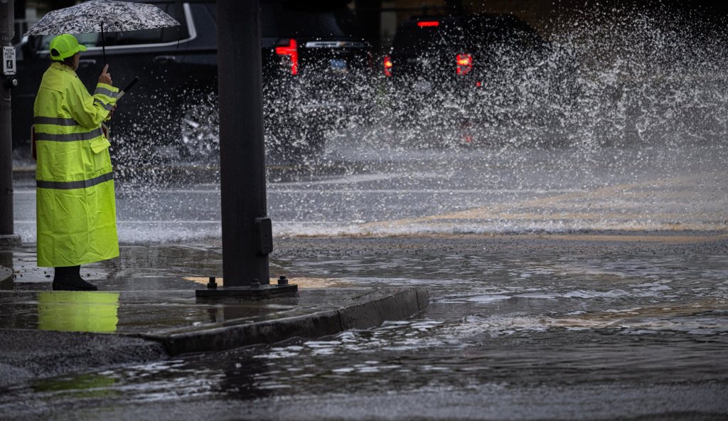
A winter storm anticipated to hit Los Angeles County by Sunday night, Feb. 18, will bring with it the possibility of thunderstorms, flooding and wind gusts throughout Southern California until midway through next week, forecasters said.
A flood watch has been issued for most of the region through Tuesday night, and a winter weather advisory was issued for higher elevations. High surf is anticipated along the coast.
Parts of Los Angeles County, including Pasadena and the San Fernando Valley, could see nearly three inches of rain from Sunday night through Wednesday, according to projections from the National Weather Service. Others in the southern portion of the county could see less than two inches.
The storm system has a slight possibility of starting in Los Angeles County with light rain as early as Saturday night, NWS meteorologist David Gomberg said.
“Because of that rainfall last week … it’s not going to take much rain to cause significant problems over the next few days,” Gomberg said during a Saturday afternoon presentation.
The heaviest rainfall was anticipated in Los Angeles County Monday night and Tuesday night, with peak rainfall rates between one-half inch and one inch per hour, Gomberg said. Moderate rain was anticipated to start Sunday night.
“It’s a more convective system with this and what that means, basically, is you could get some high-intensity rainfall rates,” Gomberg said. “Think of it as higher intensity, shorter duration rainfall.”
There was a 10% to 20% chance of isolated thunderstorms Sunday night through Tuesday, forecasters said.
The storm would then move into Orange County and the Inland Empire, though it looked like the system had been “slowing down a bit,” NWS meteorologist Elizabeth Adams said.
Most areas in Orange County were projected to receive one-and-a-half to two inches through Wednesday, while areas of the Inland Empire were projected to see less, Adams said.
“The ground is pretty saturated…
Read the full article here


