Here is a look at how much rain has fallen so far in Orange County from the latest ‘atmospheric river’ downpour.
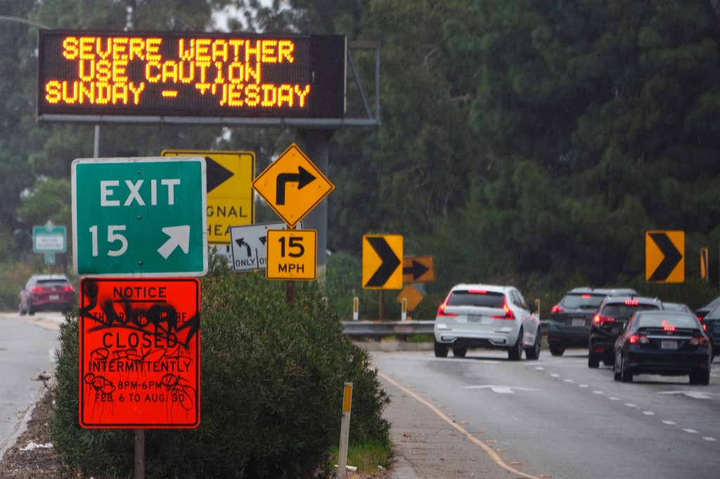
The map reflects rainfall stats collected by OC Public Works at 60 sites countywide for the 24 hours ended Sunday, February 4, at 8:30 p.m. A state of emergency has been declared as this Southern California storm is called by weather experts “potentially catastrophic and life-threatening.”
The median rainfall at the 60 measurement sites was 0.38 inches with 4 collections topping 1 inch. The rainiest spots were:
- Brea at 1.42 inches.
- Fullerton Airport at 1.14 inches.
- Gilbert Retention Basin at 1.14 inches.
- Fullerton Creek at Beach at 1.1 inches.
- Brea Olinda at 0.91 inches.
- Carbon Creek Channel at 0.86 inches.
- Garden Grove at 0.79 inches.
- Yorba Reservoir at 0.79 inches.
- Fullerton Creek at Richman Ave at 0.79 inches.
A collection site’s rainfall total is shown on the map by the dot’s color and size. Click on any dot to see an individual site’s rain totals. The map can also be viewed at bit.ly/2424rain
Read the full article here
Have a news tip for The LA Monitor? Submit your news tip or article here.


