The spell of wet winter weather forcing Southern Californians to bundle up for the past two weeks will end with a brief warm-up over the next few days, forecasters said, though cold winds blowing in from the Pacific Ocean will make things chilly again by Saturday.
Afternoon temperatures on Thursday and Friday are likely to rise above 60 degrees in Downtown Los Angeles for the first time in about a week and a half, according to the National Weather Service in Los Angeles.
By Southern California standards, the weather will still be cold. But across most areas temperatures will rise by about 3 to 4 degrees.
That warming trend will be interrupted by strong onshore winds on Saturday bringing cloud coverage and fog in the morning. It also means temperatures will fall back into the high 50s, forecasters said.
Rain could return on Sunday, but residents can expect just a drizzle.
“If rain does fall it will be extremely light,” NWS forecasters wrote.
Frost warnings will persist in some areas in the mornings and overnight. And the region’s mountains — especially the San Bernardino range — will remain quite cold, with temperatures around 40 degrees or below.
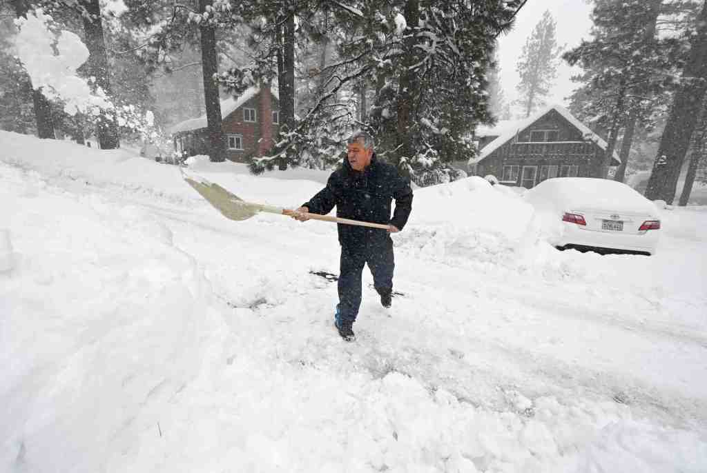
Still, the passing of rain and snow could help mountain towns like Wrightwood, Running Springs and Big Bear Lake finally dig out from feet of snow that have trapped residents for days.
“Well, we have finally reached the end of a historic weather week for Southern California,” meteorologists with the National Weather Service in San Diego said in their forecast discussion on Thursday. In addition to the heavy snow in the mountains and rain that led to flooding at lower spots, “Even some snow fell down to 1,000 feet at times, as well as graupel and hail!”
Read the full article here


