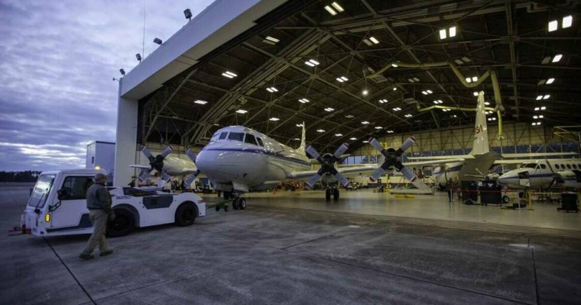
High up in some ice-filled clouds, sitting inside an airplane loaded with science instruments, Christian Nairy looked at pictures flashing on his computer screen. This high-altitude slideshow is displaying real-time images of cloud particles being sampled by a device out on the plane’s wing — and some of the ice crystals looked like perfect little snowflakes.
“They’re amazing to look at. Especially when they pop up right in front of you on the screen, it’s remarkable,” said Nairy, a Ph.D. student at the University of North Dakota.
He’s just one of the scientists who was aboard a research plane earlier this month as it flew out of NASA’s Wallops Flight Facility in Virginia to travel through a winter storm — part of a research campaign called IMPACTS, or the Investigation of Microphysics and Precipitation for Atlantic Coast-Threatening Storms mission.
It’s been gathering the kind of information that could someday help weather forecasters better predict whether a winter storm might cause treacherous conditions that would require shutting down schools, closing roads, and canceling flights.
Until this mission, which started in 2020 and ends February 28, there hadn’t been a major airborne study of winter storms in the eastern half of the United States in about 30 years, says Lynn McMurdie, an atmospheric scientist at the University of Washington in Seattle.
What questions do you have about the weather we’re experiencing?
A massive winter storm is hitting Southern California. We’re here to answer your questions.
“We’ve had some really good storms,” says McMurdie. “Whatever Mother…
Read the full article here


