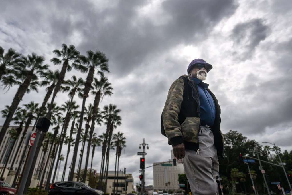
Southern California is in for yet another deluge this week as an atmospheric river — the latest of several to soak the region with rain and snow since December — was headed south and poised to strike Tuesday.
The unseasonably cold weather front, arriving with strong winds from the Northwest on the first day of spring, was likely to push into the region late Monday and peak Tuesday, according to the National Weather Service.
Along with accumulations of rain and snow across much of the already saturated region, forecasters warned of strong winds, hazardous seas and heavy surf along the coast. Officials also cautioned motorists to careful driving on wet roads and wary of street flooding in some areas; driving conditions in some mountain areas would be “dangerous to impossible,” the weather service said.
While it’s not unusual for Southern California to see lots of moisture in the winter, the sheer number of atmospheric river systems over the past several weeks is uncommon.
“We at the Weather Service don’t keep a formal count of these atmospheric rivers,” said National Weather Service forecaster Samantha Connolly, “I would probably ballpark this around to the 8th or 10th since the end of December.”
She added: “We’ve been in a weather pattern that has basically allowed these atmospheric rivers to move down to Southern California …They happen in the winter, but they don’t often come this far south.”
Nearly everywhere in Southern California can expect some rain or snow. Coastal and valley regions can expect around one to three inches of rain, with the foothills and the mountains potentially receiving even more.
Beginning early Tuesday morning, an estimated 0.50 to 0.60 inches of rain per hour is expected in lower elevation areas across the Orange County and Inland Empire area. Widespread moderate to heavy rainfall will continue through Wednesday, with flood watches in effect for much of Los Angeles, Orange, and San Bernardino…
Read the full article here


